Location of Natal
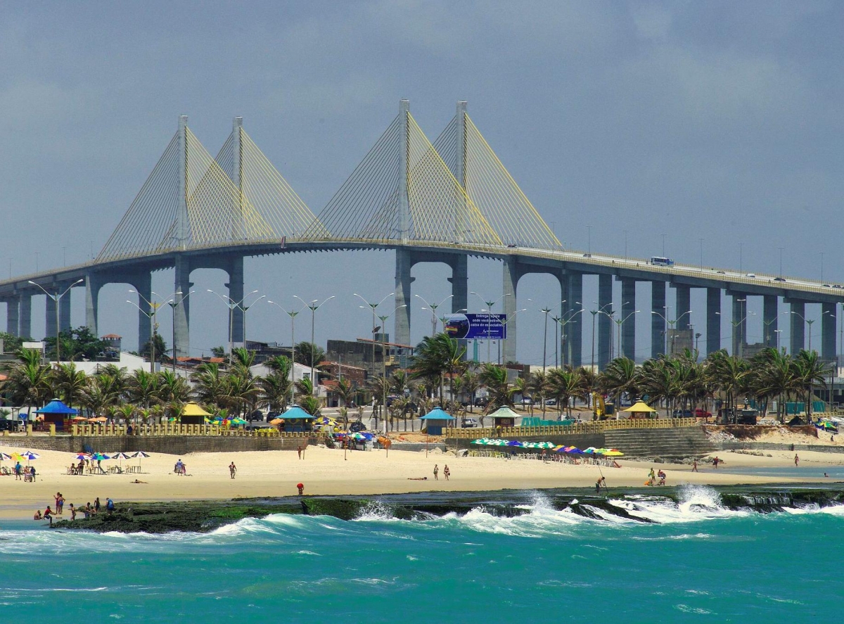
Natal, the capital of Rio Grande do Norte, also known as "City of the Sun", "London Nordestina", Bride of the Sun, "Space Capital of Brazil", "Land of Shrimp" and "World Capital of Buggy".
It is the sixth largest capital of Brazil in population density and has an area of approximately 167 km ², being the second smaller Brazilian capital in territorial area.
The geographical location of Natal has always been very important, from its foundation to the present day. In 1922, with World War II, because it was America's closest point to Africa, the United States naval and air bases were built, from which troops set out to battle the defense and patrolling of the South Atlantic and the military campaigns that were carried out in North Africa.
At that time, the War Department of the United States classified Natal as "one of the four most strategic points in the world".
Located in the eastern part of the state, the Potiguar capital lies within a group of four hydrographic basins, the Jundiaí, Pirangi, Doce and Potengi rivers, which is the largest of them, besides being bathed by the Atlantic Ocean and cut by the Jaguaribe and Guajiru.
The Metropolitan Region of Natal (RMN), which is also popularly known as "Great Christmas", is made up of 14 cities, including Natal, being the most populous, rich and urbanized region in the entire state of Rio Grande do Norte. The other 13 cities are:
- Ceará-Mirim
- Goianinha
- Nísia Floresta
- Maxaranguape
- Arês
- Ielmo Marino
- Vera Cruz
- Parnamirim
- Happy mountain
- Extremoz
- Cape Town
- Macaíba
- São José de Mipibu
Road distance between Natal and other Brazilian capitals
. João Pessoa: 181 km
. Recife: 290 km
. Fortaleza: 523 km
. Maceió: 548 km
. Aracaju: 782 km
. Salvador: 1101 km
. Teresina: 1141 km
. São Luís: 1473
. Belém 1952 km
. Victory: 2136 km
. Palmas: 2118 km
. Belo Horizonte: 2309 km
. Brasília: 2436 km
. Rio de Janeiro: 2585 km
. Goiania: 2639 km
. Sao Paulo 2896 km
. Curitiba: 3311 km
. Campo Grande: 3619 km
. Cuiabá: 3509 km
. Florianopolis: 3599 Km
. Porto Alegre: 4034 km
. Porto Velho: 5084 km
. Rio Branco: 5618 km
. Manaus: 5985 km
. Boa Vista: 6770 km
Air distance between Natal and other cities in Brazil
. João Pessoa; 152 km
. Recife: 253 km
. Fortaleza: 435 km
. Aracaju: 604 km
. Feira de Santana: 828 km
. Teresina: 843 km
. Salvador: 876 km
. São Luís: 1071 km
. Belém: 1551 km
. Victory: 1706 km
. Brasilia: 1776 km
. Belo Horizonte: 1831 km
. Goiania: 1949 km
. Uberlândia: 2032 km
. Rio de Janeiro: 2085 km
. Ribeirão Preto: 2182 km
. Campinas: 2286 km
. São José dos Campos: 2245 km
. São Paulo: 3121 km
. Santos: 2342 km
. Cuiabá: 2524 km
. Londrina: 2589 km
. Curitiba: 2645 km
. Campo Grande: 2654 km
. Joinville: 2699 km
. Manaus: 2765 km
. Florianópolis: 2802 km
. Boa Vista: 2984 km
. Caxias do Sul: 3091 km
. Porto Alegre: 3179 km
. Pelotas: 3392 km
. Rio Branco: 3616 km
You can get to Natal by plane and get off at Augusto Severo International Airport, by bus that arrives at the Natal Bus Terminal or Severino Tomaz da Silveira Road Complex, by car and of course, by the sea, through the crosses of disembark in the capital of Potiguar.
If you are going to visit Natal, do not miss the opportunity to get to know Pipa that is very close by. Contact the Vive Pipa team and schedule your transfer.


 ESPAÑOL
 PORTUGUES
